
Back in the last century, if you wanted to ride somewhere new, you would need to have a good, long look at a map – printed on paper, shaved off a tree.
Whether it was a £2.99 AA map book from the local garage, or an Ordnance Survey fold up one, you would need a map. This could be inconvenient if you needed to take the map with you on a ride (especially if you had to fold and unfold an Ordnance Survey one). Memorizing a map was a risky affair, especially on a long training ride through sparsely populated areas.
Maps
Whilst many people still enjoy poring over a good map, the accuracy and convenience of a GPS (Global Positioning System) was almost like some kind of space age magic when it became available to the general public. Gone were the days of needing to have a map for a specific region, one little GPS receiver can do it all, whether in a car or on a bike. In a relatively short space of time, many of us have become dependant, to varying degrees on GPS. Modern GPS computers accurately record speed distance and time – without the wires and magnets of non GPS computers. They can also collect heart rate, cadence and power data – all ready to be uploaded to Strava.
US History
First developed in 1973, the early GPS system was originally developed by the US military. Not for seeing how fast you are at riding up your local big hill – with a tail wind, but for tracking in military operations all around the world. Early military GPS
How on earth…
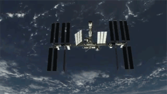
GPS works by pinpointing a GPS receiver using satellites that orbit the earth at an altitude of 20,000 kilometers. At least 3 satellites are needed to get a fix on location, this is called trilateration. There are 24 GPS satellites orbiting the world, so that each part of the world would have access to three satellites at any one time. The GPS system from the year 2000 had an accuracy of around 5 metres, the latest L5 version available in some GPS receivers from 2018, the accuracy is 30cms.
Good Job Bill…
The opening up of the military GPS system to the general public was overseen by the 42nd US President, Bill Clinton in 2000. The US military still maintain the system. The US could selectively disable GPS for regions if they desire, this has led to Russia developing its own system (GLONASS), Japan, Europe, China and India have also developed their own systems with varying success. So without Bill, there would be no strava KOM chasing and no digital way of tracking your training.
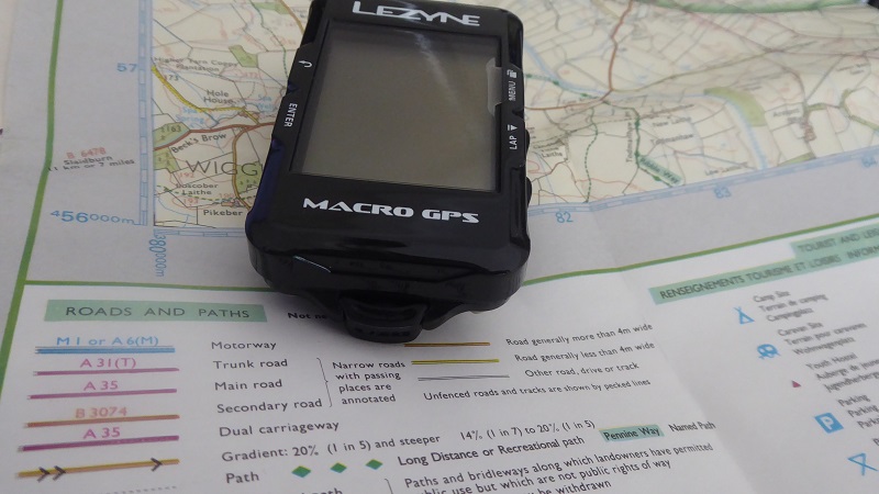
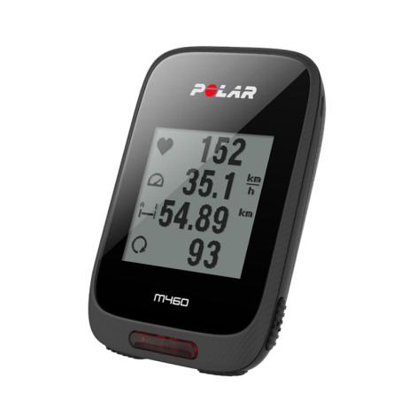
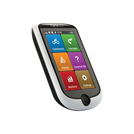
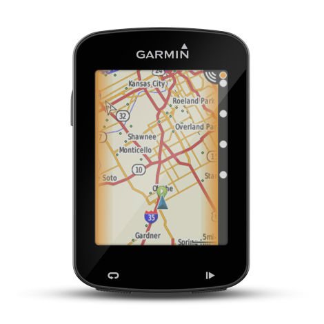
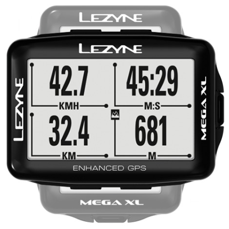
Our Best GPS’s
Budget
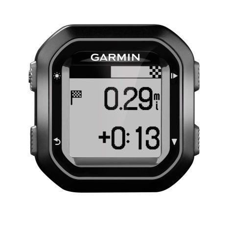
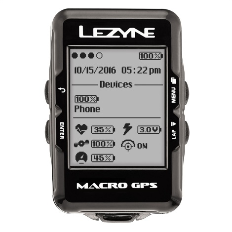
Mid-Range
Best
See our Full Range here